When India Meteorological Department (IMD) released its latest forecast on October 4, 2025, the nation braced for a week of relentless rain, hail and lightning. The agency warned that a powerful Western Disturbance would sweep across the north, delivering what it termed weather alerts of unprecedented intensity.
What the IMD Forecasts
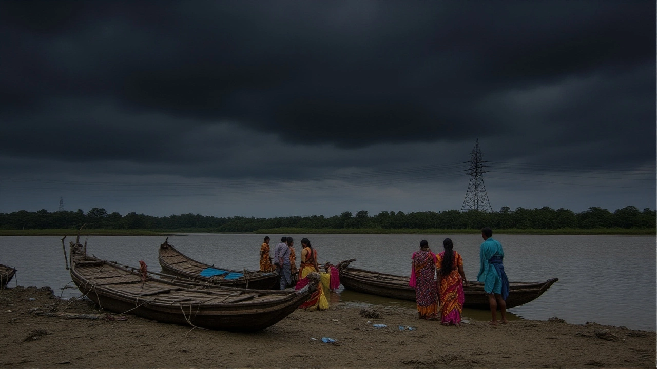
According to the official press release issued at 1400 IST, the period from October 4‑7 will see three distinct bands of severe weather. The first, on October 4, predicts exceptionally heavy rain over North Bihar – think 32 cm in just 24 hours at Siwan – and very heavy rain across East Uttar Pradesh, Sub‑Himalayan West Bengal and Sikkim. The second band rolls in from October 5‑7, driven by the Western Disturbance, with peak intensity on October 6. Finally, a lingering deep depression over the Bay of Bengal will keep coastal and peninsular states on edge through October 10.
Regions Bracing for Torrential Rain
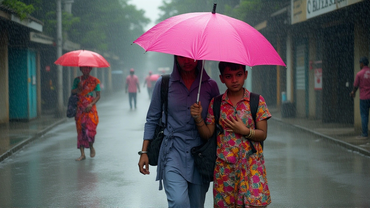
Delhi‑NCR sits in the orange‑alert zone, meaning heavy rain is expected daily until the 7th. Meteorologists say the capital will see 7‑20 cm of rain, gusts of 30‑40 km/h, and scattered lightning. Meanwhile, Siwan in Bihar already logged 32 cm – that’s more than ten inches – in a single day, eclipsing the region’s monsoon records.
Other hotspots include:
- Uttar Pradesh – heavy rain on October 6‑7, with isolated hail in the west.
- West Bengal and Sikkim – very heavy rain on October 6, exceeding 204 mm in some valleys.
- Himachal Pradesh and Jammu & Kashmir – hailstorms expected on October 5‑6.
- Rajasthan – heavy rain on October 5‑6, especially in the western districts.
Potential Impacts on Daily Life
The sheer volume of water is set to overwhelm drainage systems in many urban centers. In Delhi, the water‑logging risk could force the closure of major arterial roads such as the Ashram Marg and Ring Road. Rural farmers in Bihar and Uttar Pradesh, who rely on timely harvests, may see crop damage in fields still green from the monsoon.
“We’ve never seen anything like this in early October,” said Ramesh Singh, a shop owner in Siwan, gesturing toward the swollen gutters outside his store. “If the water keeps rising, even the market stalls could be washed away.”
Beyond inconvenience, the hailstorms pose a direct threat to livestock and rooftops. In Himachal, shepherds have reported flocks seeking shelter as hailstones the size of golf balls pelted the hillsides. Power outages are also likely; the grid in Uttarakhand has already been flagged for potential overloads.
Expert and Official Responses
IMD’s chief forecaster, Dr. Anjali Mehta, emphasized the rarity of such a synchronized weather pattern. “We’re seeing a classic Western Disturbance colliding with an entrenched Bay of Bengal depression. The resulting vertical uplift creates the extreme precipitation rates we’re reporting,” she explained during a press briefing.
State disaster management teams have activated emergency response units. The Delhi Disaster Management Authority (DDMA) has pre‑positioned sandbags along vulnerable low‑lying stretches of the Yamuna floodplain. Meanwhile, the Bihar State Disaster Management Authority (BSDMA) has issued an advisory to suspend school sessions in districts expecting >150 mm of rain on October 5.
Health officials warn of a spike in water‑borne diseases. “Stagnant water becomes breeding grounds for mosquitoes. We urge citizens to use repellents and keep containers covered,” said Dr. Suresh Kumar of the Ministry of Health.
Looking Ahead: The Weather Outlook
As the Western Disturbance weakens after October 6, the forecasters expect a gradual tapering of rain in the north. However, the lingering depression over the Bay of Bengal will keep the south‑west coast in a watchful state through October 10. Temperatures are set to dip by 4‑5 °C in north‑western India starting October 8, offering a brief respite from the otherwise sweltering early‑winter heat.
For travelers, the advice is simple: stay updated, avoid low‑lying travel routes, and keep emergency kits handy. “If you’re driving, plan for longer travel times and keep your headlights on,” reminded a senior traffic police officer in Chandigarh.
Key Facts
- IMD issued orange‑level alerts for Delhi‑NCR, Bihar, Uttar Pradesh, Himachal Pradesh, and Jammu‑Kashmir.
- Siwan recorded 32 cm of rain in 24 hours – the highest single‑day total in the region this season.
- Western Disturbance expected to peak on October 6, delivering >150 mm of rain in several districts.
- Hailstorms forecast for Jammu & Kashmir, Himachal, Punjab, and western Uttar Pradesh.
- Minimum temperatures could drop 4‑5 °C across north‑west India from October 8 onward.
Frequently Asked Questions
What areas are under the orange alert and why?
The orange alert covers Delhi‑NCR, Bihar, Uttar Pradesh, Himachal Pradesh, Punjab, and Jammu‑Kashmir because IMD expects heavy to very heavy rain (7‑20 cm) plus hail and strong winds from the Western Disturbance, which could cause flooding and landslides.
How will the heavy rain affect transportation?
Major highways such as NH‑44 and the Delhi Ring Road are likely to experience water‑logging, leading to slow traffic and possible closures. Rail services in the north may see delays, especially in flood‑prone sections near the Yamuna.
Is there a risk of hail damage to property?
Yes. Hailstones up to 30 mm have been forecast for Himachal, Jammu‑Kashmir and western Uttar Pradesh. Homeowners should cover roofs and secure outdoor items to prevent damage.
What should farmers do to protect their crops?
Agricultural officers advise using waterproof tarps for stored grains, improving field drainage, and, where possible, planting flood‑tolerant varieties. In Bihar, emergency seed kits are being distributed by the state government.
When is the rain expected to subside?
The Western Disturbance should weaken after October 6, so the heaviest rains will likely recede by October 8. However, the Bay of Bengal depression may keep the south‑west coast wet until October 10.